
Vehicle mapping and geo-location solutions for M2M/IoT devices
Google and HERE mapping.
World-class vehicle mapping at your fingertips
The importance of selecting the appropriate vehicle mapping platform cannot be overstated when it comes to delivering integrity and positional accuracy to your data outputs, whether complex geospatial solutions or precise fleet telemetry are being employed in your location-based application.

Our two vehicle mapping solutions
At Wireless Logic, we offer two world-leading mapping solution platforms, namely HERE and Google Maps.
Moreover, our partnership status with HERE and Google Maps ensures that customers can seamlessly access either or both platforms. This provides a competitive edge, allowing for the consolidation of mapping and cellular connectivity costs into a single, convenient monthly bill.
Furthermore, today, the HERE and Google Maps platforms find applications across a diverse range of uses. These include Business Intelligence, Fleet Telematics, Asset Tracking, and Routing, as well as Driver Behavior, Smart Cities, and IoT applications. In each of these applications, mapping solutions play a pivotal role in empowering organizations to enhance decision-making, optimize workforce and asset performance, and deliver more competitive services through precise location awareness.
Notably, Wireless Logic excels in simplifying access to intricate mapping solutions. We offer robust support and commercially competitive pricing, all backed by a team of specialized mapping experts.
It’s worth mentioning that HERE and Google Maps have achieved top rankings in the OVUM Location Performance Index as of August 2019, with HERE ranking first and Google Maps coming in second.
Expanding applications
Mapping and geo-location solutions are now used across a growing number of applications including:

Creating a more informed web service for your customers – consumer-class experience in enterprise-focused settings

Point to point, optimised matrix multi-vehicle routing, truck attributes, road infrastructure data (e.g speed limits, slopes).
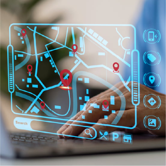
Visualise business-critical information in a geographical context to improve insights and decision making.

Make it easier for customers to find your services easily supported by real-time routing information.
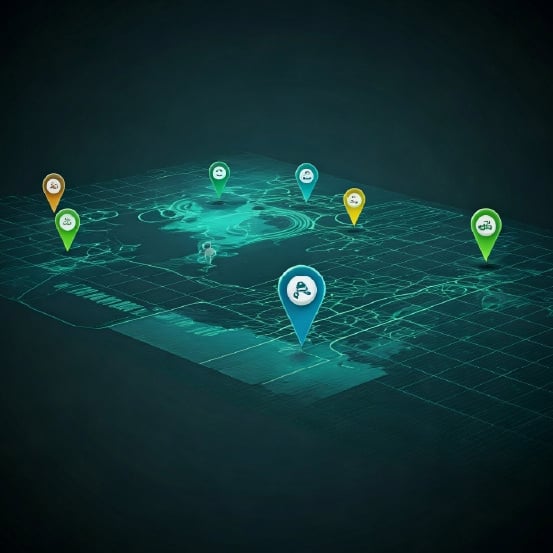
Real-time insight and tracking of your assets. Know where they are with GPS, mobile network cell-site and Wifi.
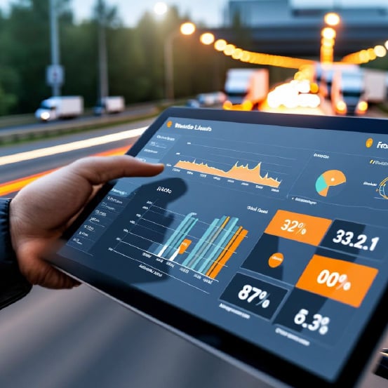
Capture position, route, traffic conditions and more to analyse people performance and actions.
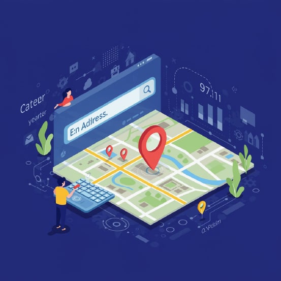
From an address to a point on a map and from GPS latitude/longitude to an address, streamline processes.
Alert your operators, your customers and your business when assets enter defined geo-fenced locations.
Access to the leading mapping technology
Global mapping platforms often have high costs; Wireless Logic’s partnerships with HERE and Google Maps offer affordable, effective solutions.
One monthly cost
Competitive pricing is on a per user/case basis and can be combined with connectivity billing into one easy to manage cost. Capital expenditure is reduced with costs spread across contract terms on an OPEX basis.
Single point of contact
Manage your mapping and connectivity through one provider. Our specialist teams can deliver immediate answers, cutting through the typical red tape of dealing with major corporate giants.
Ease of use
Using API and mobile SDK integration tools, complex mapping solutions are simplified with seamless compatibility. Our mapping solutions deliver unlimited data requests and uninterrupted usage.
Sector-leading customer support
Our team of experts, with direct experience from mapping platforms, provides configuration, daily support and comprehensive expertise.
Future proofing your mapping application
Our mapping experts keep you updated on market trends and technology, ensuring your application stays ahead with the latest enhancements.
Making leading mapping platforms viable
Our specialist teams can deliver immediate answers. Were making the HERE and Google maps platform more accessible and competitive.
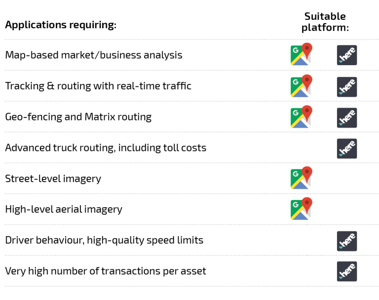
Deciding on the best vehicle mapping platform
HERE and Google Maps are ranked as the very best Location Platforms, globally. Each has its unique features and in many cases, both platforms will deliver equally effective results for an application. In some scenarios, both platforms are used concurrently.
Our mapping solutions experts can talk through the merits of each and provide trials for testing if necessary.
IoT solutions for any sector

Our IoT solutions enable precision farming, optimise resources and improve yields through data-driven decisions for smart, sustainable operations.

Our IoT solutions offer remote control, real-time monitoring and automation of wearables, home appliances and digital assets for enhanced convenience and security.

Our IoT solutions enable predictive maintenance, optimise distribution and support smart grids, enhancing reliability and sustainability whilst reducing costs.

Our IoT solutions offer critical data for environmental protection, regulatory compliance and sustainable resource management, fostering a healthier ecosystem.

Our IoT solutions enable real-time patient data, predictive maintenance of smart devices and better treatment outcomes for personalised healthcare.

Our IoT solutions improve efficiency, reduce downtime and enhance quality control, transforming operations into smart manufacturing processes.

Our IoT solutions optimise supply chains, reduce costs and improve delivery accuracy for better reliability and customer satisfaction.

Improve service delivery and operational efficiency with smart infrastructure, real-time data and automation for a safer, sustainable community.

Our IoT solutions optimise stock management, support sales strategies and provide a seamless, personalised shopping experiences.

Our IoT solutions offer comprehensive coverage, improve incident response and enable proactive threat detection, protecting people and assets.

Our IoT solutions optimise energy use, enhance occupant experience and reduce costs for sustainable, intelligent building environments.

Our IoT solutions enable local authorities to improve urban living, through real-time analytics, connected infrastructure and automated services.

